
Locaties


MUSEUM HET SCHIP
Oostzaanstraat 45
1013 WG Amsterdam
UILENBURGERSJOEL
Nieuwe Uilenburgerstraat 91
1011 LM Amsterdam

DE WAALSE KERK
Walenpleintje 159
1012 JZ Amsterdam
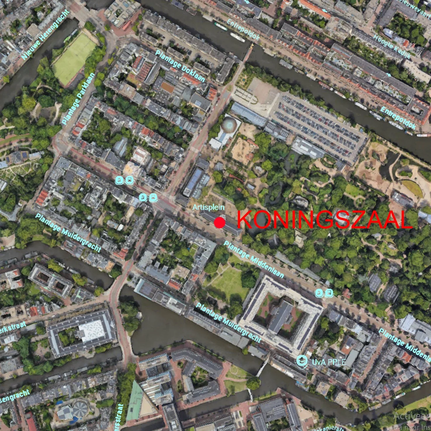
KONINGSZAAL ARTIS
Plantage Middenlaan 41
1018 CZ Amsterdam